- Artificial intelligence is enhancing cartography with new tools for urban modeling, hazard forecasting, and climate monitoring.
- Aayush Dhakal and Srikumar Sastry, from McKelvey School of Engineering, have developed Sat2Cap and GeoSynth.
- Sat2Cap creates maps from textual descriptions, winning the Best Paper Award at EarthVision.
- GeoSynth generates satellite images based on text prompts or locations, showing advanced generative capabilities.
- Both models were showcased at the EarthVision workshop during CVPR 2024.
- Sat2Cap enables “zero-shot mapping,” allowing creation of maps without extensive data collection.
- GeoSynth demonstrates zero-shot satellite image generation, producing contextually accurate imagery.
Main AI News:
Maps are a staple in everyday life, whether for navigating to a destination, tracking weather patterns, or planning travel. However, the integration of artificial intelligence (AI) with cartography is leading to breakthroughs in creating sophisticated tools for urban modeling, navigation systems, natural hazard forecasting, climate change monitoring, and virtual habitat modeling. These advancements offer new capabilities for surveillance and analysis across various fields.
Aayush Dhakal and Srikumar Sastry, graduate students at the McKelvey School of Engineering, Washington University in St. Louis, are at the forefront of this innovative approach. Their research focuses on developing models that leverage satellite imagery to address these challenges. Dhakal’s project, Sat2Cap, enables users to generate detailed maps from textual descriptions, transforming abstract concepts into geographic visuals. Meanwhile, Sastry’s GeoSynth creates satellite images based on given textual prompts or specific geographic locations.
The duo presented their findings at the EarthVision workshop, held in conjunction with the Computer Vision and Pattern Recognition Conference (CVPR 2024) in Seattle. EarthVision aims to advance the machine learning analysis of remote sensing data, focusing on urgent applications such as monitoring natural hazards, urban expansion, deforestation, and climate change.
Traditional map-making is a labor-intensive process involving the collection and plotting of extensive data to produce accurate representations. Dhakal’s Sat2Cap addresses this by automating map creation through textual input. The project won the Best Paper Award at the EarthVision workshop and is accessible on the arXiv preprint server. Sat2Cap utilizes a vast dataset of satellite images, trained with six million data points, to generate maps of locations based on text prompts. For instance, a query like “amusement parks” could result in a map highlighting probable locations of amusement parks across the U.S.
Dhakal describes this process as “zero-shot mapping,” which allows the creation of maps for concepts that may not have existing data. This approach eliminates the need for extensive data collection and makes the model user-friendly by enabling interaction through natural language.
In parallel, Sastry’s GeoSynth model explores the challenges of generating satellite images from text prompts. This task is more complex than creating images of individual subjects, such as animals, due to the need for geographic context. GeoSynth uses a diffusion model to condition on geographic data, ensuring that generated images accurately reflect the characteristics of specific locations. For example, it can produce a desert landscape for Phoenix or a green, farm-like image for Des Moines.
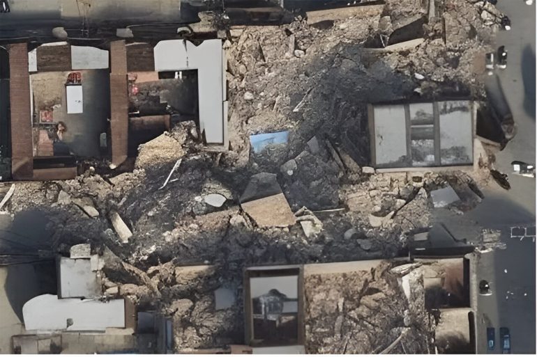
GeoSynth demonstrates impressive capabilities in zero-shot satellite image generation, producing diverse imagery from flooded cities to arctic landscapes based on textual descriptions or geographic locations. This model’s ability to create realistic and contextually accurate images, distinct from its training dataset, opens up possibilities for urban planning, dataset enrichment, and creative applications similar to those offered by DALLE-3 or Midjourney.
These AI advancements in cartography not only enhance our ability to visualize and analyze geographic data but also make high-resolution satellite imagery more accessible and versatile, revolutionizing how we interact with and understand our world.
Conclusion:
The integration of AI with cartography, as demonstrated by tools like Sat2Cap and GeoSynth, signifies a transformative shift in the market. These innovations streamline the map-making process and enhance data visualization, making it more efficient and flexible. This advancement is likely to impact various sectors, including urban planning, environmental monitoring, and disaster response, by providing more accessible and adaptable tools for geographic analysis. As AI continues to evolve, the ability to generate high-resolution and contextually accurate imagery from textual prompts could become a crucial asset for businesses and organizations, driving growth and offering new opportunities in the field of remote sensing and data analysis.

